Lobios
Entrimo
Bouzadrago
Ameixoeira (Portugal)
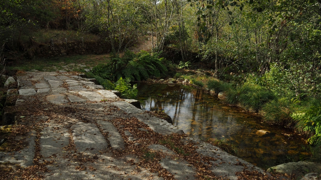
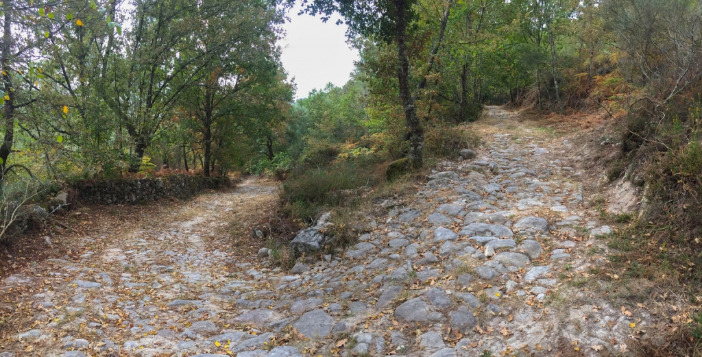
The characteristics of the terrain will have us walk through rocky terrains and across historic bridges, like the one in
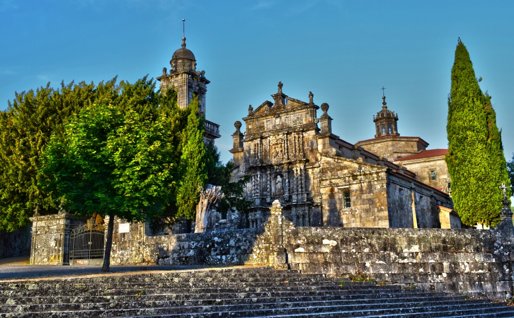
Pacín. We will see examples of seductive architecture, both religious and popular as churches, crucifixes and stone laundries will appear on the way.
Section 1: Lobios - Entrimo
- Length: 5,30 Km.
- Difficulty: Medium-High
- Estimated time: 1 h. 9 min.
We leave
Lobios walking through its oldest part, until we reach the parish church, where we will cross another historic bridge. From there we head towards
Entrimo. We will enter the municipality of Entrimo in a place called
A Sobreira and then the village of
Quintáns, where we will find the San Antonio chapel. Next we follow the path towards
Feira Vella, and then to
O Casal, crossing on the way the historical bridge in
Pacín, where we find a chapel to San Miguel ( saint Michael). Continuing, we will find there a chapel dedicated to Santa María la Real (St Mary), with references in documents and toponyms pointing to the existence of an old hospital and a chapel dedicated to St John.
Section 2: Entrimo - Bouzadrago
- Length: 4,20 Km.
- Difficulty: Medium-High
- Estimated time: 0 h. 55 min.
The route continues through the village of
Ferreiros after we walk over a historical crossing over the
Medán stream. From Ferreiros we follow a path, which at times is paved and leads between walls, until we reach the crossing of
O Folón. The path will take us to the village of
Bouzadrago, where we can find a chapel featuring St James the Pilgrim in the main altar.
Section 3: Bouzadrago - Ameixoeira (Portugal)
- Length: 5,40 Km.
- Difficulty: Medium-High
- Estimated time: 1 h. 10 min.
We set out from the village and the route will take us north, to the village of
Pereira, where we will find San Facundo (St Facundus) church. We will reach a fork junction, where we keep right, along a paved road, which will take us uphill, to a mountain refuge. This road will then turn into a dirt road leading through the woods to
Ameixoeira (Portugal).
The Portuguese part is yet to be analysed historically. From Ameixoeira the route continues towards Castro Leboreiro.
Photo gallery:
Downloads:
Links: